

3D Surveying & Mapping
Building condition assessment has traditionally meant expensive site visits, disrupted operations, and piles of data that don't translate into clear action. Our thermal imaging and 3D capture services transform that equation. We deliver rapid, comprehensive building assessments that quantify exactly what needs attention, why it matters, and how to prioritize your maintenance budget—all without the cost and disruption of traditional inspections.
A range of services to meet the needs of every client.
Thermal Scanning
Drone-mounted infrared cameras detect heat loss, moisture ingress, electrical faults, and HVAC inefficiencies across your building envelope — without scaffolding or access equipment. Every survey is delivered with a detailed condition report, precise temperature mapping, and clear remediation guidance. Ideal for FM teams, estates managers, and compliance-driven property owners.
Building & Site Inspection
High-resolution aerial inspection of roofs, facades, structures, and hard-to-reach areas — completed faster, safer, and at a fraction of the cost of traditional access methods. Outputs include annotated imagery, condition grading, and a written report suitable for maintenance planning or insurance purposes. Available as a one-off or as part of a planned inspection programme.
Report White-Labelling
Designed for surveyors, facilities consultancies, and drone operators looking to offer thermal imaging and condition reporting without the overhead of specialist equipment or report-writing capability. You manage the client relationship — we handle the technical delivery and documentation. Fully confidential, professional-grade outputs as standard.
3D Building Mapping
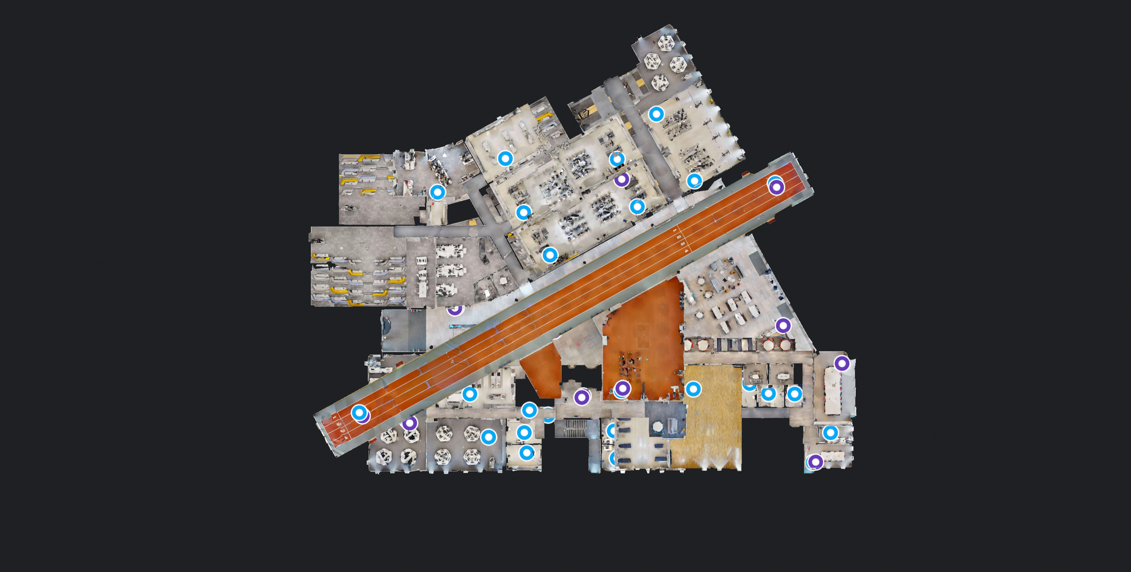
Photogrammetric drone surveys that generate accurate 3D models, topographical maps, and point cloud data of buildings and sites. Used for construction progress monitoring, as-built verification, land development planning, and BIM integration. Deliverables are compatible with standard CAD and GIS platforms.
Façade & Window Cleaning
Drone-assisted cleaning for high-rise facades, glazing, and difficult-to-access external surfaces — removing the need for scaffolding, abseiling, or cherry pickers. Safe, efficient, and significantly faster than traditional methods. Suitable for commercial office buildings, retail units, industrial premises, and residential blocks.
Traffic Data Collection
Real-time aerial monitoring of vehicle flow, congestion, and movement patterns across road networks, intersections, and event sites. Used by local authorities, urban planners, infrastructure developers, and event organisers to inform decisions that ground-based monitoring can't support at scale.
Video Production
Aerial footage and cinematic drone video for property marketing, construction documentation, corporate communications, and brand content. We handle capture, editing, and final delivery — whether you need a single asset or a full production package. Available across London and the UK.
Our four-stage delivery model
Assess project requirements and define the scope of your digital twin implementation. We identify key objectives, evaluate technical feasibility, and establish success criteria to ensure alignment with your business goals.
Capture accurate spatial data using advanced scanning technologies. We collect comprehensive 3D measurements and visual information of your physical assets to create the foundation for your digital twin.
Build and configure your digital twin environment with processed data. We establish the digital infrastructure, integrate captured information, and set up management systems for ongoing oversight and control.
Connect your digital twin with existing systems and workflows. We enable seamless data exchange, automate routine processes, and create intelligent connections that maximize operational efficiency and insights.
Ready to capture your building?
Get in touch for a no-obligation quote. We cover the whole of the UK/ EU and can typically mobilise within two weeks of instruction.